The short version
- Recurring glacial outburst floods have caused significant damage to homes in Juneau since 2011, with severity increasing in recent years.
- A new online dashboard launched in 2025 provides real-time hydrological data and forecasts to help residents prepare for rising water levels.
- While physical barriers and home modifications are common, the forecasting tool offers a proactive strategy for managing inevitable annual inundation.
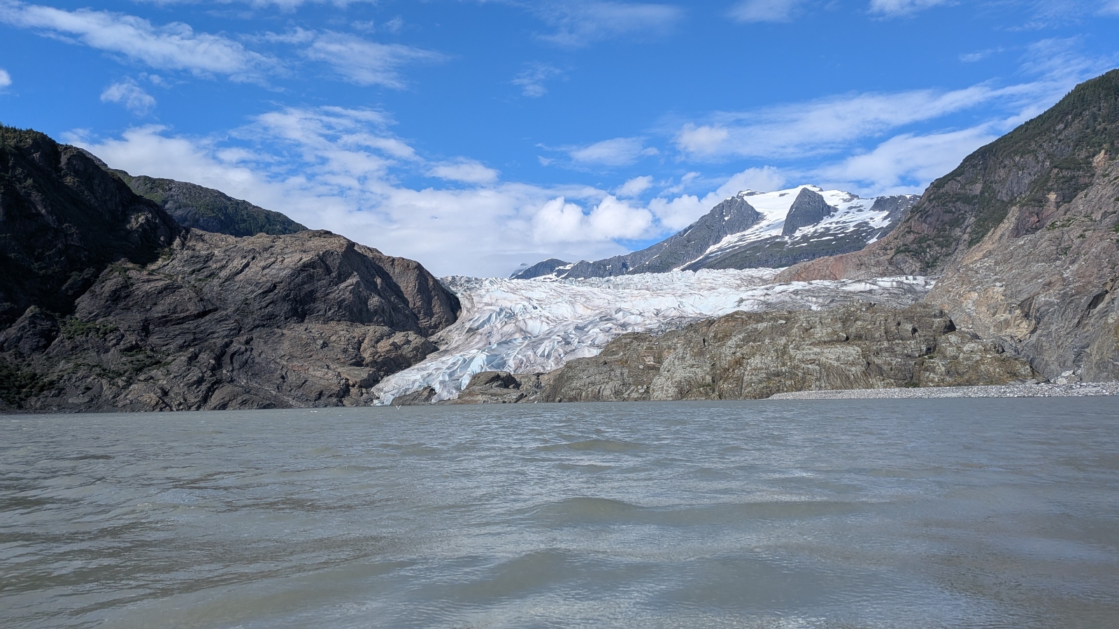
The threat of flooding in Juneau has shifted from an unpredictable disaster to a recurring seasonal event. Residents who once viewed such inundations as rare, century-scale occurrences now face them with increasing frequency. This change is driven by the rapid warming of Alaska, which is heating at two to three times the global average. The resulting meltwater and rain accumulate in a basin adjacent to the Mendenhall Glacier, creating pressure that eventually breaches natural barriers and sends surges of water into nearby neighborhoods.
The escalation of these events has been stark. For more than a decade following 2011, floods remained relatively contained. However, recent years have seen record-breaking water levels. In 2023, the Mendenhall River reached nearly fifteen feet, inundating dozens of homes and causing millions in damages. The trend continued with new benchmarks set in both 2024 and 2025. Scientists anticipate that these annual floods will persist for decades, forcing the community to abandon hopes of prevention in favor of adaptation.
Personal accounts illustrate the severity of this shift. John Lowrey, a retiree with deep roots in the area, experienced a devastating flood two years ago when a three-foot wave destroyed his basement and ruined family heirlooms. The repairs cost his family $150,000. He noted that he and his neighbors initially misunderstood the nature of the basin, believing they had survived a once-in-a-century event. Instead, they learned that the glacier acts as a dam, periodically releasing stored water in predictable but powerful bursts.
Another resident, Mark Miller, faced similar destruction when sixteen inches of water filled his garage and required seven months of repairs costing $35,000. Like Lowrey, Miller was caught off guard by the sudden surge. These experiences highlight the trauma associated with the loss of property and the financial burden placed on homeowners. The recurring nature of the damage has left many residents feeling vulnerable, as traditional insurance and repair cycles struggle to keep pace with annual destruction.
In response to this predictable threat, local officials and scientists have developed a sophisticated forecasting system. Launched in 2025, an online dashboard translates complex hydrological data into actionable information for the public. The tool provides real-time updates on water levels and forecasts flood heights within hours of potential events. Last year, more than 15,000 people accessed the platform, using it to decide when to secure belongings or evacuate. The system also includes educational content explaining the formation of the glacial basin.
The dashboard has become a central tool for daily life in the flood zone. Residents like Miller check the site regularly, finding comfort in the ability to anticipate water levels. This transparency allows homeowners to take preemptive measures, such as placing sandbags against doors to withstand water pressure. By providing advance warning, the technology shifts the response from reactive damage control to proactive protection, giving thousands of exposed residents valuable time to act.
Physical adaptations remain common throughout the valley. Many homeowners have raised their structures or dug moats to divert water. The city has also constructed approximately six miles of barriers between the river and residential areas. Despite these efforts, the market in the flood zone remains active, with many residents choosing to stay rather than relocate. This persistence underscores a broader challenge faced by communities worldwide: how to live safely in areas where climate-driven disasters are becoming inevitable.
The approach taken in Juneau offers potential lessons for other regions grappling with similar issues. Glacial outburst floods occur in Iceland, the Alps, and the Himalayas, but few places have residential neighborhoods directly in the path of such recurring events. As communities elsewhere face increasing threats from hurricanes and floods, the integration of real-time data with public access could provide a model for resilience. The focus is no longer on stopping the water, but on seeing it coming.
Looking ahead, the reliance on forecasting tools will likely deepen as climate impacts intensify. The dashboard serves not only as a warning system but also as an educational resource, helping residents understand the science behind the floods. This knowledge empowers individuals to make informed decisions about their safety and property. While the physical landscape of Juneau remains vulnerable, the community’s ability to respond is evolving through technology and shared information.
The situation in Juneau highlights a broader reality of climate adaptation. When prevention is no longer feasible, preparation becomes essential. The combination of infrastructure improvements, personal mitigation strategies, and advanced forecasting creates a multi-layered defense against recurring disasters. As the Mendenhall Glacier continues to retreat and melt, the city’s experience may serve as a case study for other places facing the new normal of frequent, severe weather events.
Sources behind this briefing
Go to the original reporting
- Grist↗Juneau can’t stop the floods, but it’s learning to see them coming