The short version
- Decorrelation stretch, a NASA-developed algorithm, enhances contrast in digital images to reveal faded details.
- The method helped identify over two hundred hidden paintings at Angkor Wat between 2010 and 2012.
- Jon Harman adapted the technology for public use after seeing its potential for studying ancient rock art.
A digital imaging technique initially engineered by NASA to analyze planetary surfaces has proven instrumental in uncovering hidden historical artifacts at one of the world’s most visited heritage sites. Between 2010 and 2012, researchers utilized this method to identify approximately two hundred previously invisible paintings within the Angkor Wat temple complex in Cambodia. These artworks, which include depictions of horseback riders and traditional musical ensembles, are located high in the central tower but have faded to the point where they remain unnoticed by the thousands of daily visitors who pass them.
The technology behind this discovery is known as decorrelation stretch, an algorithm designed to heighten contrasts within digital imagery. This process makes subtle features significantly easier to detect than through standard visual inspection. The method was originally conceived at NASA’s Jet Propulsion Laboratory in Southern California. It gained popularity in the field of archaeology, particularly for studying ancient rock art, following a convergence of professional expertise and personal interest by one individual.
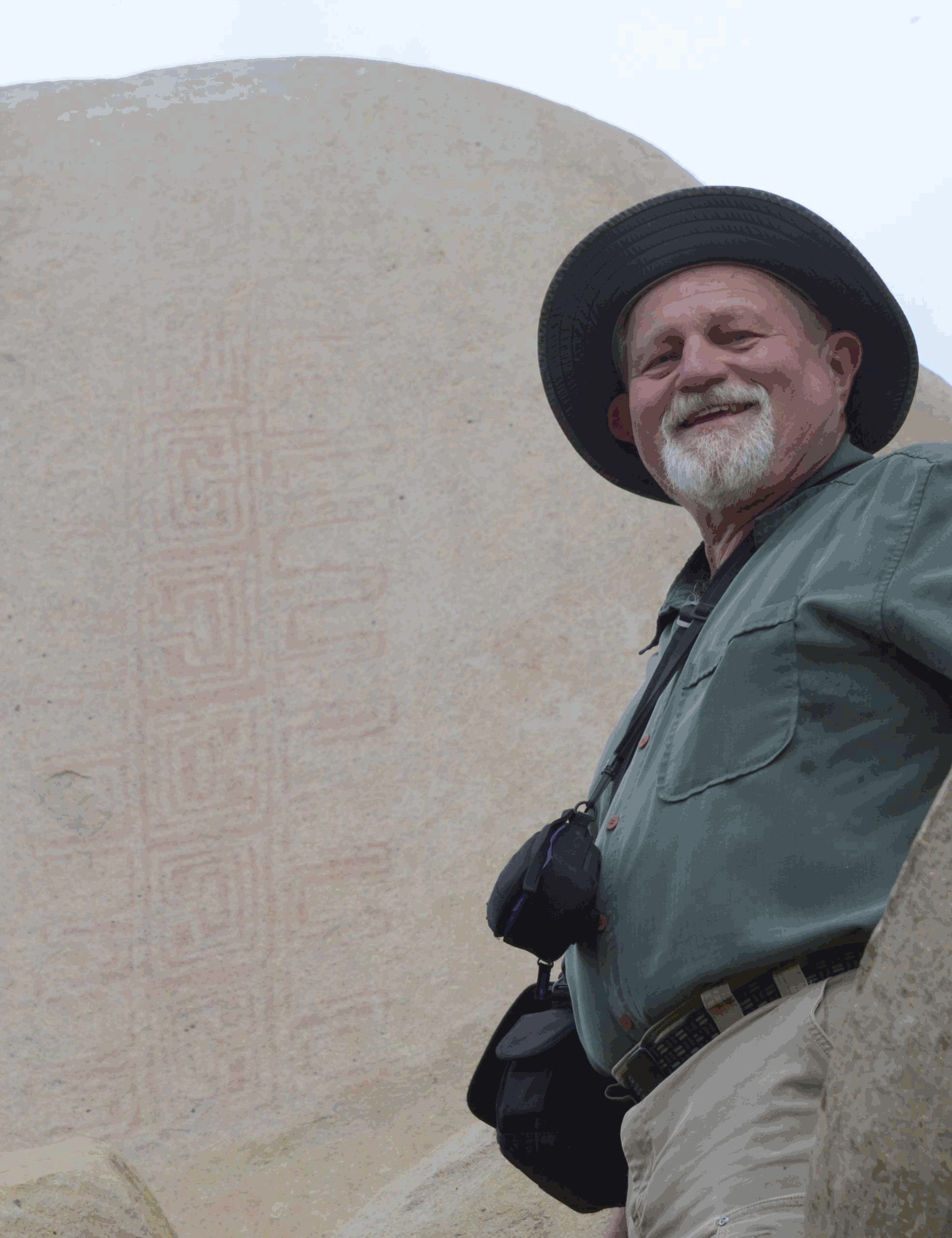
Jon Harman, a retired resident of Pacifica, California, first encountered the potential of this technique around 2005. As an enthusiast of rock art, he observed NASA images of the Martian surface that displayed dramatic differences when the decorrelation stretch algorithm was applied versus when it was not. The enhanced detail in the processed images suggested to Harman that the same method could be effective for examining faded ancient imagery on Earth.
Harman possessed a background in medical imaging, which provided him with the technical foundation to implement the algorithm. After locating a 1996 NASA paper detailing the process, he developed a plug-in for ImageJ, an open-source program created by the National Institutes of Health. This tool allowed users to apply the decorrelation stretch technique to their own digital photographs, democratizing access to advanced image processing capabilities.
The original algorithm was written by Ronald Alley, a former employee at JPL who was developing applications for the Advanced Spaceborne Thermal Emission and Reflection Radiometer. This Japanese imaging instrument operates on NASA’s Terra satellite, part of the Earth Observing System. Alley recognized the potential of decorrelation stretch for extracting information from ASTER imagery, building on work by a former supervisor who had co-invented the technique.
Since its adaptation for archaeological use, the technology has seen widespread adoption. Harman reports fulfilling roughly two hundred requests for the software annually. He also developed smartphone applications that utilize a shortcut to mimic the decorrelation stretch effect. These apps have been downloaded thousands of times, and numerous academic papers have been published documenting the utility of the tool in various archaeological contexts.
Beyond Angkor Wat, the technique has been employed to clarify imagery at diverse global locations. Applications include identifying ancient art under cliffs in Norway, revealing details within an Egyptian tomb, and examining sites in a Canadian park. The method has also assisted researchers in locating buried remains of ancient Greek buildings and analyzing tattoos on mummified human remains, demonstrating its versatility beyond just rock art preservation.
Harman expressed satisfaction with the broad range of applications discovered by the scientific community. While he anticipated the tool’s utility within the rock art sector, the variety of other uses has been unexpected. The Terra satellite, which hosts the instrument that inspired this technological transfer, continues to study interactions among Earth’s atmosphere, lands, oceans, and radiant energy, highlighting the ongoing value of space-based technology for terrestrial research.
The success of this project illustrates how tools developed for space exploration can yield significant benefits for cultural heritage preservation. By making advanced image processing accessible through open-source software and mobile applications, researchers and enthusiasts alike can now uncover historical details that were previously lost to time and fading pigments. This cross-pollination of technology underscores the enduring impact of NASA’s innovations beyond their original scientific objectives.
Sources behind this briefing
Go to the original reporting
- NASA↗NASA Technique for Manipulating Satellite Photos Now Reveals Ancient Images

