The short version
- Eastern Spain experiences historic rainfall leading to lockdowns and significant loss of life in Valencia and Alicante regions.
- The United Kingdom confronts a series of named winter storms, including Austen and Boelo, bringing damaging winds and flood risks.
- Super Typhoon Champi maintains category five strength as it moves toward China and Japan after impacting Taiwan with heavy rains.
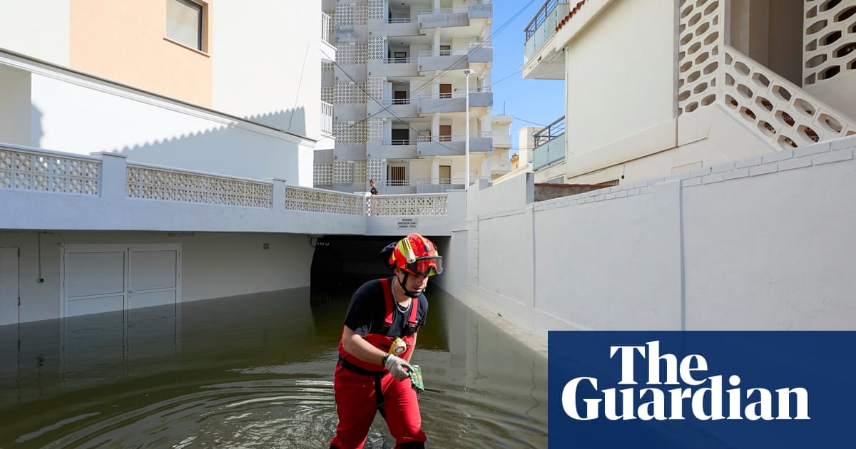
Eastern Spain is grappling with the aftermath of severe flooding triggered by Storm Adam, which delivered torrential rainfall to the Valencia, Alicante, and Balearic Islands regions earlier this week. The intensity of the precipitation was unprecedented in several areas, with Pego in Alicante recording 632 millimeters of rain over a 36-hour period. A significant portion of that total, 430 millimeters, fell within just six hours, overwhelming local drainage and infrastructure. Similarly, the Valencian town of Olivia received 600 millimeters in a single day, highlighting the extreme nature of the weather event.
The human cost of the flooding has been substantial. Authorities report at least five fatalities resulting from the disaster. Emergency services have conducted extensive rescue operations, saving approximately 500 individuals from rising waters. In response to the crisis, officials imposed a temporary lockdown on Monday across 145 municipalities, affecting roughly 850,000 residents in Valencia and Alicante. Additionally, 2,100 people were evacuated from their homes to ensure public safety as conditions deteriorated rapidly.
Disruption extended beyond the mainland to the Balearic Islands, where more than 130 incidents were recorded in Ibiza alone. The airport faced significant challenges due to standing water, leading to the diversion or suspension of several flights. While meteorological data suggests that the worst of Storm Adam has passed and conditions are gradually improving across Valencia and Alicante, local authorities warn that disruption will persist. Cleanup efforts and infrastructure repairs are expected to take considerable time as communities begin to recover from the damage.
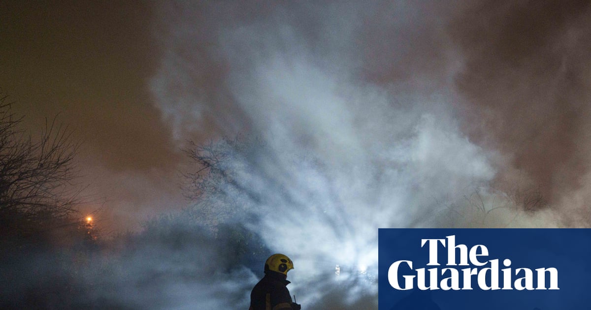
Meanwhile, the United Kingdom is experiencing its first named storm of the winter season, Storm Austen, which is currently tracking through the English Channel. The system is bringing damaging winds to south-west England and Wales, as well as parts of south-west Ireland and northern France. Meteorologists forecast gusts between 50 and 60 miles per hour in most affected areas. However, exposed coastal regions in north-western France could face much stronger winds, with gusts potentially reaching 80 to 90 miles per hour, posing significant risks to maritime activities and coastal infrastructure.
The unsettled weather pattern is not expected to end with Storm Austen. A deep low-pressure system known as Storm Boelo is scheduled to track across northern Scotland from Saturday into Sunday. This subsequent storm will bring further damaging winds and heavy, prolonged rain to much of the UK and Ireland. Western Scotland is anticipated to face the strongest gusts, while the rest of the region may experience winds between 40 and 55 miles per hour.
Western parts of Ireland are projected to see wind speeds of 50 to 60 miles per hour, with exposed areas in north-west Ireland potentially facing gusts of 70 to 80 miles per hour. These conditions mirror those expected in western Scotland. In addition to the wind, Storm Boelo will bring significant rainfall, ranging from 10 to 20 millimeters generally, but up to 30 to 60 millimeters in western Ireland, Wales, and south-west England. This additional precipitation, combined with the rain already delivered by Storm Austen, significantly increases the risk of further flooding across these regions.
In the Pacific, Super Typhoon Champi continues its trajectory toward China and Japan after passing north-eastern Taiwan on Friday. Although the storm has weakened slightly since Wednesday, it remains a formidable force with wind speeds equivalent to a category five hurricane. The system is producing gusts of up to 185 miles per hour and sustained winds of 121 miles per hour. Its path poses a serious threat to coastal communities in East Asia as it moves over the weekend.
Taiwan has already experienced severe impacts from the typhoon, with forecasts indicating up to 900 millimeters of rain in the mountainous regions of northern and eastern parts of the island between Tuesday and Saturday. The heavy rainfall has led to widespread disruptions, including school closures and cancelled flights. Coastal areas are also dealing with six-meter waves, creating hazardous conditions for marine traffic. As the storm progresses, more impacts are expected over the coming days, prompting continued vigilance from authorities in the region.
Sources behind this briefing
Go to the original reporting
- The Guardian World↗Severe flooding in eastern Spain, while UK hit by first named storm of winter