The short version
- Nearly 500 firefighters are battling the Timber fire in Monterey County, which has grown to 2,000 acres and threatens nearly 300 structures.
- Evacuation orders have impacted major tourist sites including Nepenthe restaurant and Alila Ventana resort, with Highway 1 closed to non-residents.
- The broader western wildfire season is severe, with Oregon setting a new record for land burned and Canada deploying military support in British Columbia.
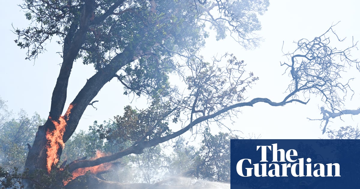
A rapidly expanding wildfire in California’s Big Sur region has triggered mandatory evacuations for several high-profile tourist destinations, disrupting travel along the Pacific Coast Highway during one of the area's busiest periods. The blaze, identified by state officials as the Timber fire, ignited on Sunday within the Los Padres National Forest in Monterey County. By Tuesday morning, the fire had consumed approximately 2,000 acres of rugged terrain, prompting authorities to order residents and visitors out of specific zones near the coast.
The evacuation zone encompasses well-known landmarks that draw significant international and domestic tourism. Among those affected are the Nepenthe restaurant, the Henry Miller Memorial Library, and the Alila Ventana resort. State parks in the vicinity have also been impacted by the emergency measures. To manage traffic and ensure safety for emergency crews, officials have restricted access to portions of Highway 1, barring non-residents from entering the corridor. Authorities have issued strong advisories urging travelers to avoid the region entirely until further notice.
Approximately 500 fire personnel have been deployed to combat the blaze. According to Cal Fire, the state’s primary wildfire management agency, crews are currently working to establish containment lines along the highway corridor. As of Monday, only 5 percent of the fire’s perimeter had been boxed in. The slow progress is attributed largely to the challenging topography of the area, which features steep mountains and difficult-to-access ground. Firefighters are utilizing both aerial and ground resources to navigate these obstacles.
Despite the rapid growth in acreage, officials noted that the fire’s behavior has remained somewhat predictable. The blaze is moving slowly and burning primarily through grass, brush, and oak woodland on the ground level. It has not yet transitioned into the tree canopy, a development that could significantly accelerate its spread and intensity. The primary strategic focus for incident commanders is protecting residential structures and preventing the fire from crossing Highway 1, which serves as a critical barrier and evacuation route.
The investigation into the origin of the Timber fire is ongoing. While the exact cause remains unknown, the fire currently poses a threat to 259 buildings in its path. The timing of the outbreak presents additional logistical challenges for local emergency management teams, who must coordinate evacuations while managing heavy tourist traffic and limited road access. The situation underscores the vulnerability of coastal communities to wildfires during dry summer months.
The Big Sur incident is part of a broader pattern of intense wildfire activity across the western United States and into Canada. In British Columbia, military personnel have been placed on standby to assist with firefighting efforts after at least one fatality was reported and approximately 20,000 people were forced to flee their homes. The mayor of Summerland, a community of about 12,000 residents evacuated on Saturday night, warned that conditions remained too hazardous for re-entry and that the full extent of property damage could not yet be assessed.
Other regions are also grappling with significant fire events. In Nevada, a fast-moving blaze north of Reno compelled roughly 5,500 people to evacuate their homes. Meanwhile, in Washington state, firefighters have made progress on three destructive fires near Spokane, strengthening containment lines enough to allow some displaced residents to return home. These varied outcomes highlight the localized nature of wildfire risks and the differing stages of response across jurisdictions.
Oregon is experiencing its most severe wildfire season on record, with nearly 3,700 square miles of land scorched. This figure surpasses the previous state record set in 2024, according to Jean Nelson-Dean, a spokesperson for the Northwest Interagency Coordination Center. The scale of burning in Oregon reflects broader climatic trends affecting the Pacific Northwest, where dry conditions and high winds have created persistent fire danger.
In California’s Sierra Nevada foothills, crews have achieved significant containment of the Gann fire, which resulted in one death and the destruction of 48 structures. Investigators determined that this particular blaze was started by a man using a chainsaw, leading to his arrest last week. This case illustrates how human activity can contribute to wildfire ignition, even as natural factors like drought and heat exacerbate the spread.
As the Timber fire continues to burn in Big Sur, officials remain focused on protecting life and property while monitoring weather conditions that could influence fire behavior. The closure of Highway 1 and the evacuation of tourist hubs have immediate economic implications for local businesses reliant on summer visitors. Long-term recovery efforts will depend on the success of containment strategies and the eventual determination of the fire’s cause.
Sources behind this briefing
Go to the original reporting
- The Guardian World↗Famed tourist destinations evacuated as wildfire threatens California’s Big Sur