The short version
- Snowfall was recorded in major ski resorts and urban peaks across New South Wales, Victoria, and Tasmania during the weekend.
- Meteorologists attribute the sudden drop in temperature to a cold front moving north from Antarctica, accompanied by strong south-westerly winds.
- The cold snap is expected to dissipate quickly, giving way to warmer temperatures and storm patterns typical of spring as El Niño conditions intensify.
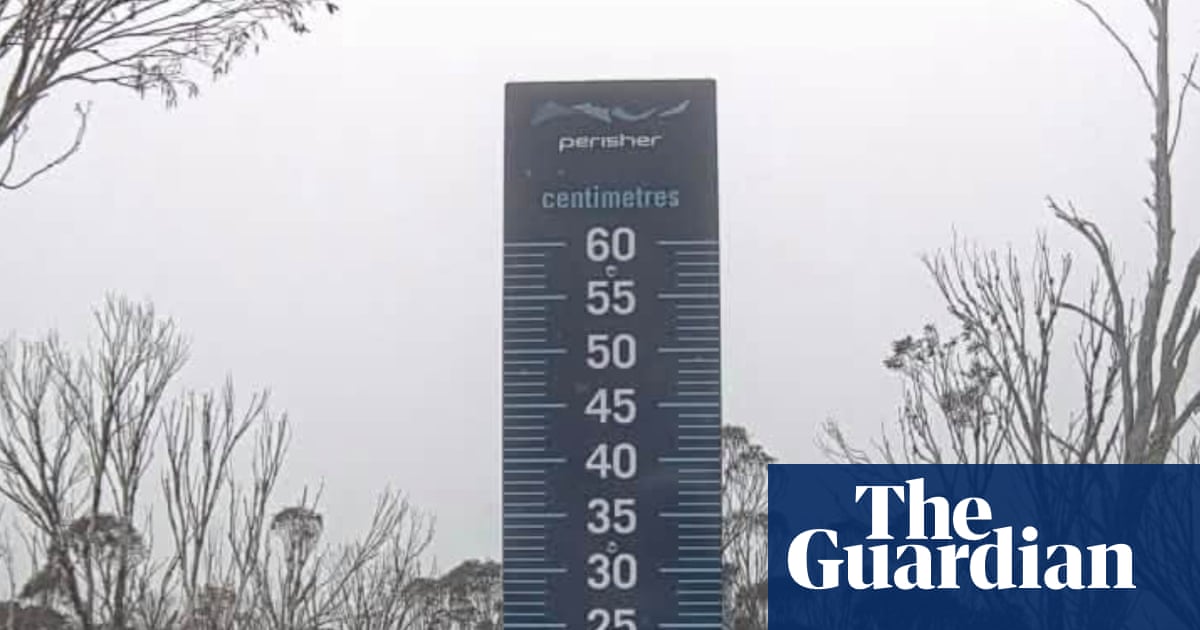
An unseasonal burst of cold weather swept through southeastern Australia over the weekend, depositing snow in regions where such precipitation is rare during the spring months. The event affected parts of New South Wales, Victoria, and Tasmania, with measurable falls recorded at major alpine resorts including Thredbo, Perisher, and Mount Hotham. Snow also blanketed Kunanyi/Mount Wellington in Hobart, creating a stark visual contrast to the typical November climate for these areas.
The Bureau of Meteorology had forecasted the event, noting that while uncommon, late-spring snowfall is not entirely unprecedented. Historical data shows that several of the locations impacted this weekend also experienced snowfall in November 2022. The agency explained that a weather system carrying cold air from Antarctica moved northward, driving down temperatures significantly below seasonal averages. Strong south-westerly winds further reduced the apparent temperature, making conditions feel much colder than the actual readings indicated.
By midday on Sunday, major cities including Sydney, Melbourne, Canberra, Adelaide, and Hobart all reported feels-like temperatures cooler than 13 degrees Celsius. This sharp drop in thermal comfort prompted widespread reaction on social media platforms, where residents shared images and videos of the unexpected winter-like conditions. In Tasmania, local sports clubs posted photos of hail-covered fields, while resort staff documented heavy snow accumulation on chairlifts and slopes.
Despite the intensity of the cold snap, forecasters indicate that the chill will not persist. Tristan Sumarna, a meteorologist with the Bureau of Meteorology, stated that lower temperatures are expected to dissipate starting Tuesday. The agency predicts a rapid shift toward warmer conditions, with parts of Sydney potentially reaching mid-20s or even low 30s Celsius by the end of the week. This transition will likely introduce a storm-like pattern more characteristic of spring weather in New South Wales.
In Victoria and Tasmania, the immediate forecast calls for fine weather on Monday, with Melbourne expected to reach the low 20s by lunchtime and Hobart peaking at 19 degrees Celsius. The contrast between the weekend’s alpine snow and the upcoming warmth highlights the volatility of the current seasonal transition. Meanwhile, northern and western parts of the country, including Brisbane, Perth, and Darwin, remained largely unaffected by the cold front, enjoying temperatures in the 20s and 30s throughout the weekend.
This brief period of cooling may represent one of the final cold snaps of the year before a significant shift in climate patterns takes hold. The Bureau of Meteorology, along with international bodies such as the United Nations, has issued warnings regarding the potential impacts of a powerful El Niño event. These organizations describe the phenomenon as potentially supercharged by broader climate changes driven by fossil fuel pollution, which is already exacerbating extreme weather events globally.
The anticipated effects of this El Niño cycle include hotter and drier conditions across the southern hemisphere summer. For Australia, this translates to an increased risk of droughts and wildfires, posing significant challenges for agriculture, infrastructure, and public safety. The juxtaposition of the recent snowfall with the looming threat of severe heat underscores the increasing unpredictability of weather patterns in the region.
As temperatures rise and the storm systems move through, authorities are likely to monitor fire danger ratings closely. The rapid transition from cold, wet conditions to hot, dry weather can create volatile environments for vegetation and increase the likelihood of lightning-induced fires. Residents in affected areas are advised to stay informed about local forecasts as the season progresses toward its peak summer months.
The event serves as a reminder of the complex interplay between short-term weather systems and long-term climate trends. While the snowfall provided a temporary respite from typical spring temperatures, it does not mitigate the broader risks associated with global warming. The coming months will test the resilience of communities as they prepare for the heightened dangers posed by an intensifying El Niño cycle.
Meteorological agencies continue to track the development of these weather patterns, emphasizing the need for preparedness in the face of increasingly extreme conditions. The shift from unseasonal cold to projected heat illustrates the dynamic nature of Australia’s climate and the importance of accurate forecasting in managing public safety and resource allocation.
Sources behind this briefing
Go to the original reporting
- The Guardian World↗Cold blast brings springtime snow to alpine regions as temperatures plummet across Australia’s south-east