The short version
- Amber weather warnings are active for strong winds in northern regions, with gusts potentially reaching 80 mph in exposed coastal areas.
- Travel networks face significant interruptions, including flight cancellations at Dublin airport and rail safety concerns due to debris near tracks.
- Major cultural events in London, Liverpool, and Edinburgh have been cancelled or closed as authorities prioritize public safety amid heavy rain and wind.
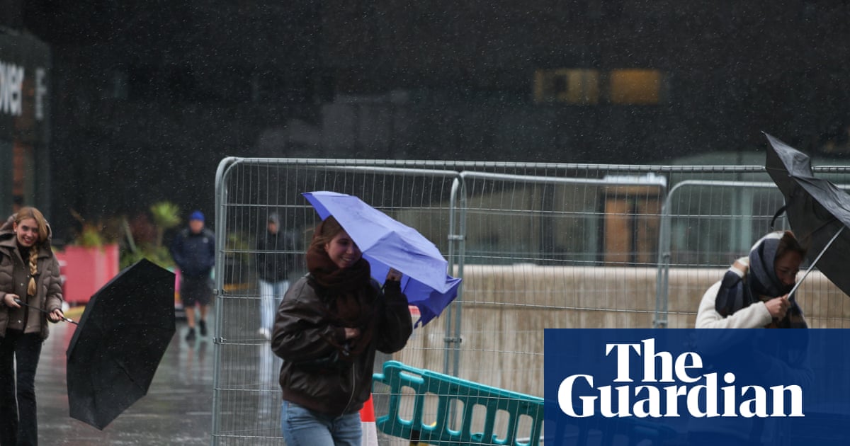
The United Kingdom is bracing for the impact of Storm Boelo, the second named storm of the current season, which has triggered amber weather warnings across northern regions. These alerts represent the second-highest level of severity issued by the Met Office and are designed to warn residents of dangerous conditions that could pose a risk to life. The warnings cover mainland Scotland, parts of Northern Ireland, and the far north of England, with the most intense effects expected from Saturday evening through Sunday morning. Meteorologists indicate that gusts between 60 and 70 mph are widely anticipated in these zones, while exposed coastal locations may experience winds reaching up to 80 mph.
This system arrives shortly after Storm Austen, the first named storm of the season, which brought strong winds to various parts of the country on Friday. The rapid succession of storms has compounded logistical challenges and infrastructure strain. In south-west England, hundreds of homes remained without power following the earlier disturbance, although utility providers reported restoring electricity to over 131,000 properties by Saturday evening. The Met Office has also issued yellow warnings for rain across a broader area, extending south into parts of England and North Wales, and covering all of Northern Ireland. These lower-level alerts signal that disruption is likely, even if the immediate danger is less severe than in the amber zones.
Rainfall totals have already accumulated significantly in several areas ahead of the peak wind speeds. By Saturday afternoon, White Barrow in Wiltshire had recorded 72 millimeters of rain, while Cwm Dyli in North Wales and Inveruglas in Scotland each saw 43 millimeters. The Environment Agency responded to these conditions by issuing 58 flood alerts across England, indicating that flooding is possible at those locations. Additionally, twelve specific warnings were issued where flooding is expected rather than just possible. These hydrological hazards add complexity to the storm’s impact, particularly in regions already saturated from recent weather patterns.
Travel networks have begun to feel the strain of Boelo’s approach. At Dublin Airport, airlines cancelled nine outbound and ten inbound flights by late Saturday due to weather-related issues. Operational difficulties were also evident during landing procedures, with six inbound flights performing go-arounds; five eventually landed on their second attempt, while one diverted to another airport before returning later. The disruption highlights the sensitivity of air travel to high winds and poor visibility, even when airports remain technically open. Rail operators have also issued warnings, sharing images of debris such as trampolines and sheds near tracks to urge residents living close to lines to secure outdoor items firmly.
Public events and attractions have responded proactively by cancelling or closing operations to ensure visitor safety. In Liverpool, the River of Light event, known for its illuminated artwork along the waterfront, was called off. Similarly, London’s annual Diwali on the Square celebrations were cancelled following recommendations from independent health and safety experts. Edinburgh Castle closed its doors, and the Fountains Abbey estate in North Yorkshire suspended its planned floodlight event. These decisions reflect a broader trend of risk aversion among organizers facing unpredictable and potentially hazardous conditions.
The Met Office chief forecaster emphasized that the strongest winds and greatest potential for disruption will be concentrated in the north. However, other parts of the UK are not immune to effects, with gusts of 50 to 60 mph possible in various locations. The combination of strong winds and heavy rain creates additional hazards, including the danger of flying debris and crashing waves. Authorities have advised people to stay indoors as much as possible and to secure loose items outside to prevent them from becoming projectiles. Planning ahead for travel is also recommended, as conditions are expected to deteriorate further before improving.
As the storm progresses, the focus remains on minimizing damage and ensuring public safety. The amber warnings are set to expire by Sunday evening in most areas, though residual effects such as flooding may persist longer. Utility companies continue to monitor power supply stability, particularly in regions that experienced outages during the previous storm. Residents are encouraged to keep abreast of the latest forecasts and warnings, as weather patterns can shift rapidly. The dual impact of consecutive storms underscores the increasing frequency of severe weather events in the region, prompting ongoing vigilance from both emergency services and the public.
Looking ahead, the aftermath of Storm Boelo will likely involve cleanup efforts and assessments of infrastructure damage. While no major structural failures have been reported yet, the potential for localized flooding and power interruptions remains high. The cancellation of cultural events may lead to rescheduling or refunds, affecting local economies dependent on tourism and attendance. Meteorological agencies will continue to track the storm’s trajectory and intensity, providing updates as conditions evolve. For now, the priority is maintaining safety protocols and reducing exposure to hazardous weather elements until the system passes.
Sources behind this briefing
Go to the original reporting
- The Guardian World↗Storm Boelo: Travel disrupted and events cancelled as UK hit by wind and rain