The short version
- A new vulnerability index ranks Portsmouth as the most exposed city to extreme heat in Great Britain, with Leicester and Exeter projected to see significant increases in risk.
- The study predicts that all seventy-one analyzed cities will reach high vulnerability levels by 2040, driven by urban infrastructure that traps solar radiation.
- Milton Keynes emerges as a model for resilience due to extensive natural surfaces, while London areas face severe heat retention and substantial economic costs from past heatwaves.
A comprehensive new assessment of urban environments in Great Britain has identified specific cities that are currently most vulnerable to extreme temperatures and those likely to suffer the greatest warming as global heating intensifies. The analysis, produced by Ordnance Survey in collaboration with the Met Office and data firm 4 Earth Intelligence, creates a heat vulnerability index for seventy-one cities holding royal charters across England, Scotland, and Wales. This tool aims to provide planners and local authorities with authoritative data on how built environments interact with rising temperatures, highlighting where infrastructure changes are most urgently needed.
Portsmouth, a coastal city in southern England with a population of approximately 208,000, currently holds the highest vulnerability score among all analyzed locations. The research indicates that Portsmouth will remain at this peak risk level through the end of the century. Other cities facing severe impacts by 2100 include the City of Westminster, Plymouth, Leicester, and Exeter. While Portsmouth leads in current exposure, Leicester is projected to experience the most dramatic shift in rankings, climbing from tenth place today to fourth by the century’s mark. Nottingham, Bristol, and Brighton and Hove are also expected to enter the top ten most vulnerable cities.
The physical mechanisms driving this vulnerability are rooted in urban design. Cities function as heat islands because materials such as concrete, asphalt, and building facades absorb solar radiation during daylight hours and release it slowly at night. This process prevents urban areas from cooling down effectively after sunset, making them up to ten degrees Celsius hotter than surrounding rural landscapes. The index combines current temperature observations with structural characteristics of the built environment and future climate projections to generate a score between one and five. Scores ranging from three to four indicate high vulnerability, while those between four and five signify severe risk.
Areas lacking tree cover, green spaces, and waterways are identified as the most susceptible to extreme warming. In Portsmouth, local leaders have pinpointed neighborhoods such as Somerstown, Portsea, Southsea, and Fratton as particularly exposed due to limited vegetation and an abundance of hard surfaces. These high-risk zones often overlap with areas of socioeconomic deprivation, compounding the challenges faced by residents who may lack resources for cooling or healthcare during heat events. The concentration of buildings and roads in central London areas also contributes significantly to heat retention.
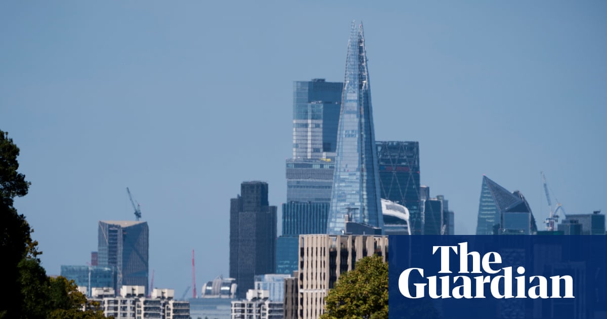
The City of London records the highest built-environment score in the study, reflecting a dense concentration of structures and hard surfaces with minimal natural cooling elements like trees or water bodies. Westminster ranks third for overall heat vulnerability today and is projected to be second only to Portsmouth in future periods. The economic toll of such conditions is already evident; a previous study commissioned by the Mayor of London estimated that the 2022 heatwaves cost £1.5 billion. These expenses included losses in productivity, health impacts, disruptions to education, increased energy demand, and strain on transport and emergency services.
Looking ahead, the index suggests a broad escalation in risk across the country. By 2040, all seventy-one cities included in the analysis are expected to reach high heat vulnerability levels. As the century progresses, nearly two-thirds of these urban centers could transition into the most severe category. This trajectory underscores the urgency for adaptive planning, as extreme and sustained heat affects public health, workplace comfort, and the capacity of essential services. Accurate mapping of these vulnerabilities is critical for developing strategies that mitigate risks before they become unmanageable.
Despite the widespread challenges, some cities demonstrate effective resilience strategies. Milton Keynes ranks sixty-ninth out of seventy-one cities for current heat vulnerability, indicating strong performance in managing thermal stress. The city benefits from the lowest built-environment vulnerability score in England and possesses the most effective natural cooling capacity among all analyzed locations. With forty-six square kilometers of natural surfaces compared to nearly forty square kilometers of hard-made surfaces, Milton Keynes offers a contrasting model to more densely built urban centers.
Experts emphasize that heat exposure varies significantly even within single cities, often changing from street to street. Areas that consistently register higher temperatures than their surroundings tend to overheat first during heatwaves. The goal of this mapping initiative is to transform thermal threat data into actionable blueprints for urban resilience. This includes informing decisions on the placement of heat refuges and enabling emergency responders to plan interventions in advance rather than reacting during climate events. As global temperatures continue to rise, such detailed insights will be vital for protecting public health and maintaining urban functionality.
The findings highlight a clear divergence between cities that are well-prepared for thermal stress and those that remain highly exposed. While the overall trend points toward increased vulnerability across Great Britain, the specific risks depend heavily on local infrastructure and green space availability. Planners and developers must utilize these authoritative datasets to guide construction and retrofitting efforts. Without targeted interventions to increase natural cooling and reduce heat-trapping surfaces, many British cities will face escalating challenges in maintaining livable conditions for their residents.
Sources behind this briefing
Go to the original reporting
- The Guardian World↗Cities in Great Britain most vulnerable to extreme heat revealed