The short version
- Google temporarily disabled an AI image generation tool in Google Earth that allowed users to overlay synthetic visuals on real-world locations.
- Researchers and journalists expressed concern that the feature undermined the evidentiary value of satellite imagery used to document conflicts and human rights abuses.
- The company cited policy violations regarding shared screenshots as the reason for the rollback, while promising to develop stricter guardrails before a potential return.
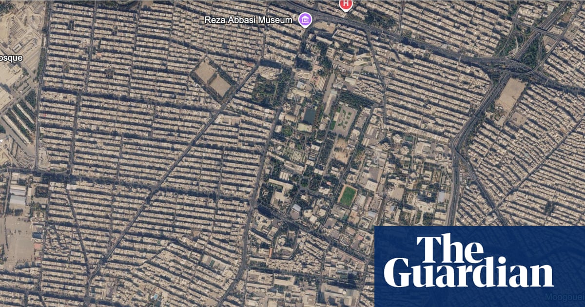
Google has temporarily disabled a controversial feature in its Google Earth platform that allowed users to generate artificial intelligence images and overlay them onto real-world satellite locations. The tool, introduced last Thursday, was designed to help students visualize historical events, assist real estate professionals in planning developments, or allow users to reimagine familiar places. However, the capability quickly attracted scrutiny from digital investigators and media organizations who warned that it could be exploited to create convincing but false visual evidence of global events.
The concern stems from the unique authority satellite imagery holds in journalism and research. Unlike ground-level photography, which often faces public skepticism regarding authenticity, space-based visuals are generally perceived as objective and indisputable records of reality. This perception has made satellite data a critical resource for documenting inaccessible regions, particularly during conflicts where physical access is restricted or dangerous. The ability to seamlessly blend AI-generated content with verified geospatial data threatens to erode that trust, potentially making it difficult for audiences to distinguish between factual documentation and fabricated scenarios.
Within hours of the feature’s launch, users began testing its boundaries. Henk van Ess, an AI researcher and investigator, demonstrated the tool’s potential for misuse by generating images depicting refugees near the Mexican border and a fictional nuclear facility in Iran. He also created a composite showing a bomb crater near a fabricated hospital in Gaza. These examples highlighted how easily the technology could be used to manufacture narratives about sensitive geopolitical situations. Other testers reported similar results, noting that while the generated images were not always photorealistic, they were sufficiently plausible to cause confusion or distress when shared without context.
The stakes for satellite imagery verification have risen significantly in recent years. In 2020, investigative journalists used satellite data from Planet Labs, a firm backed by Google, to expose the expansion of detention camps in China’s Xinjiang region, work that contributed to a Pulitzer Prize win. More recently, imagery has been instrumental in documenting the destruction in Gaza and the humanitarian crisis in Sudan. In November 2025, researchers analyzed satellite photos of El Fasher, Sudan, identifying stains resembling blood and what appeared to be human bodies near areas besieged by paramilitary forces. These applications rely on the integrity of the source material; introducing a layer of user-generated synthetic content complicates the verification process for experts who depend on these images for accountability.
Google acknowledged the risks associated with the feature, stating that it recognizes the unique trust users place in Google Earth as a reliable view of the world. The company noted that while geospatial professionals found legitimate uses for the tool, they also observed instances where shared screenshots violated their policies. As a result, Google rolled back the functionality to implement additional safeguards. The company indicated that the feature might return in the future once these guardrails are established, suggesting an ongoing effort to balance creative utility with the need to prevent disinformation.
The incident underscores broader challenges facing technology companies as AI capabilities become more accessible to the general public. While tools like this offer educational and professional benefits, they also lower the barrier for creating sophisticated visual misinformation. The rapid response from Google reflects a growing awareness that the integrity of digital platforms is essential for maintaining public trust, especially when those platforms serve as primary sources for understanding complex global events.
For journalists and researchers, the temporary removal of the feature provides a brief respite but does not solve the underlying issue of verifying visual content in an era of generative AI. The ease with which synthetic images can be produced means that future iterations of such tools will require robust authentication mechanisms. Until then, experts warn that the proliferation of unverified overlays could dilute the impact of legitimate satellite evidence used to hold power to account.
The rollback also highlights the tension between innovation and responsibility in tech development. Google’s initial announcement framed the tool as a means for visualization and creativity, yet it failed to anticipate how quickly users would repurpose it for deceptive ends. This misalignment between intended use and actual application is a recurring theme in AI deployment, prompting companies to adopt more cautious approaches when introducing features that interact with real-world data.
As Google works on new guardrails, the incident serves as a cautionary tale for other platforms considering similar integrations. The potential for harm extends beyond individual users; it affects the broader information ecosystem by undermining confidence in visual evidence. Ensuring that synthetic content is clearly labeled and separated from verified imagery will be crucial in preserving the utility of satellite data for journalism, research, and public understanding.
The situation remains fluid as Google evaluates how to reintroduce the feature safely. Stakeholders including journalists, researchers, and digital rights advocates are likely to continue monitoring developments closely. The outcome could set a precedent for how tech companies manage AI tools that intersect with factual reporting, influencing industry standards for transparency and accountability in visual media.
Sources behind this briefing
Go to the original reporting
- The Guardian US↗Google Earth’s potential disinformation nightmare