The short version
- National Weather Service forecasts critical fire conditions with strong Santa Ana winds through Saturday in southern California.
- Utilities have preemptively cut power to tens of thousands of customers in northern California to prevent wind-sparked blazes.
- Experts warn that new fires could exacerbate landslide risks during the anticipated wet winter associated with El Niño.
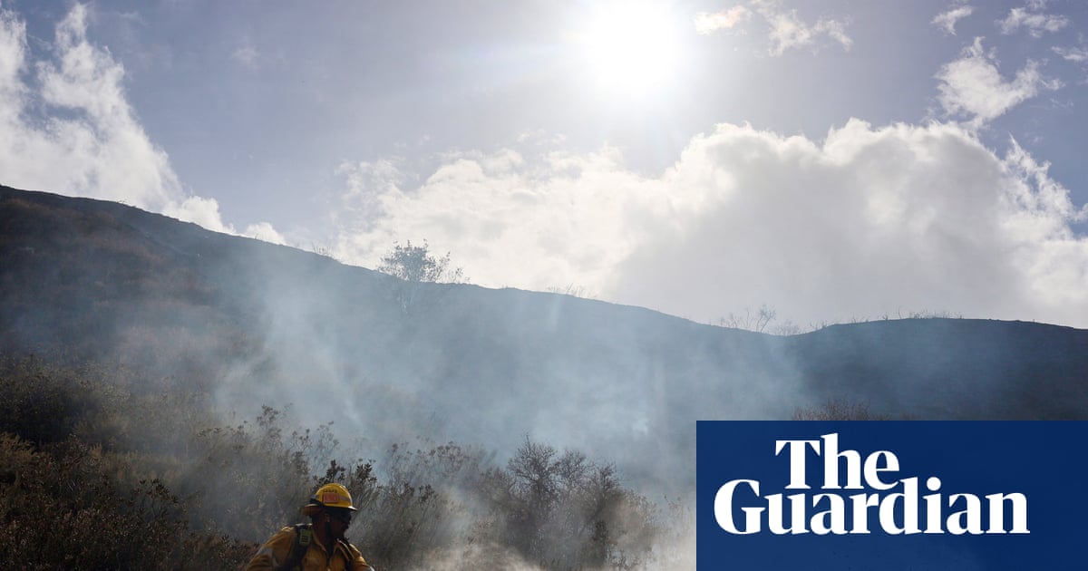
Communities throughout California are preparing for a period of heightened danger as strong winds and elevated temperatures create conditions conducive to rapid wildfire growth. The National Weather Service issued forecasts on Thursday indicating that moderate to strong Santa Ana winds would bring critical fire weather to much of southwestern California, with the threat persisting through Saturday. These atmospheric conditions are expected to generate sustained wind speeds between 20 and 40 miles per hour, with gusts reaching up to 70 miles per hour in mountainous regions such as the San Gabriel and Santa Susana ranges.
The immediate response from utility providers has been aggressive in an effort to mitigate ignition risks. In northern California, Pacific Gas and Electric Company initiated proactive power shutoffs on Wednesday night, leaving nearly 62,000 customers without electricity across 26 counties. The company cited the need to prevent downed power lines from sparking wildfires during the hazardous weather window. Similar precautions are likely being considered or implemented in other regions as the threat of wind-driven embers remains high.
Local emergency management officials have mobilized resources to address the impending crisis. In Los Angeles, Fire Chief Jaime Moore announced that staffing levels have been increased and equipment pre-deployed to ensure crews can respond quickly to any incidents. Moore urged residents to take personal responsibility by clearing debris from streets, establishing evacuation plans, and staying informed about local conditions. The state Office of Emergency Services has also enhanced coordination efforts to support local jurisdictions should disasters occur.
This week’s weather event occurs against a backdrop of significant recent volatility in California’s climate patterns. Residents have already endured a tumultuous start to autumn marked by severe heatwaves and storm surges that battered the coastline. The sudden shift from coastal flooding to extreme fire danger has created a sense of whiplash among communities still recovering from previous disasters. Kevin McGowan, director of Los Angeles’ office of emergency management, emphasized the need for comprehensive preparedness, noting that residents must plan for multiple hazards rather than focusing on a single threat.
The stakes are particularly high in areas affected by the devastating 2025 firestorms, which killed more than 30 people and destroyed over 16,000 structures. Neighborhoods in Los Angeles are still undergoing reconstruction, leaving behind massive burn scars that increase vulnerability to debris flows and landslides if heavy rains arrive. Climate scientist Daniel Swain highlighted the precarious timing of potential new fires, noting that a wet winter is now highly likely for southern California due to developing El Niño conditions.
El Niño, a climate pattern characterized by warmer-than-average sea surface temperatures in the Pacific Ocean, is expected to intensify through the end of 2026 and into 2027. This phenomenon has already contributed to rising sea levels, increased air temperatures, and more powerful storms in the region. Experts warn that these impacts layer on top of existing natural hazards and those exacerbated by human-caused climate change, creating a complex risk environment for emergency planners.
While Santa Ana winds are typical for this time of year, with fire dangers usually lingering through November, the current situation is compounded by the recent storm surge and the broader climatic context. Meteorologist Rose Schoenfeld described the event as widespread, urging the entire Southern California region to remain on alert. The combination of dry vegetation, strong winds, and high temperatures creates a volatile mix that could lead to rapid fire spread if ignitions occur.
Looking ahead, officials are concerned that any significant fire activity this week could have long-lasting consequences for the upcoming winter season. New burn scars would further elevate the risk of mudslides and debris flows when heavy rains eventually arrive. As the state navigates this period of extreme weather variability, the focus remains on immediate safety measures while preparing for the shifting hazards associated with El Niño.
The National Weather Service has issued fire weather warnings for parts of central and northern California, effective from Thursday through Friday morning. These warnings underscore the potential for any fires to spread rapidly under current conditions. As the week progresses, residents are advised to monitor official updates and adhere to safety guidelines to minimize risks associated with the volatile weather patterns.
Sources behind this briefing
Go to the original reporting
- The Guardian World↗California faces more extreme weather as hot, windy days set to raise wildfire risk